Back in 2015, I was making the case inside NGA for QGIS. This was not a popular position. The agency had deep institutional relationships with Esri, significant sunk costs in ArcGIS infrastructure, and a general suspicion of anything that didn’t come with an enterprise support contract. The argument I kept making was simple: the tools are as good, the data doesn’t care what software reads it, and dependency on a single commercial vendor is a strategic liability for an intelligence agency. That argument didn’t fully land then. It’s landing now, across the industry, whether people planned for it or not.
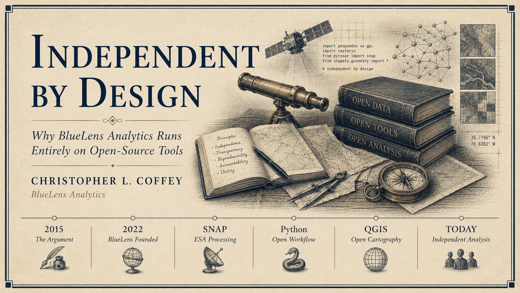
I left government in 2022 and built BlueLens Analytics around the same conviction. The entire analytical stack is open-source. Sentinel-1 SAR data from ESA’s Copernicus program. Processing through SNAP and pyroSAR. Geospatial analysis and cartography in QGIS. Vector and raster manipulation in Python, using rasterio, geopandas, and numpy. Data acquisition via the Copernicus Data Space Ecosystem API. Nothing in that chain requires a license, a subscription, or permission from a vendor to keep running next year.
When a platform decides to monetize, you find out how dependent you actually are. We built BlueLens so the answer to that question is always: not at all.
This isn’t ideology for its own sake. The practical consequences are real. A fully open stack means every processing step is auditable and reproducible. It means a client in a rural county emergency management office, or a humanitarian NGO operating on a grant budget, can actually afford the work. It means the analysis I deliver isn’t tied to whether a vendor decides to change its pricing model next quarter. And it means I can describe exactly what happened to the data, at every step, in language that holds up to scrutiny.
The geospatial industry spent a long time treating open-source as the budget option, the thing you used when you couldn’t afford the real tools. That framing is dead. ESA’s SNAP toolchain processes Sentinel data better than most commercial alternatives because ESA built it specifically for that purpose. QGIS has matched and in many areas surpassed ArcGIS for the kind of analytical work that actually gets done in the field. The Python geospatial ecosystem is deeper and more capable than it has ever been. The professional case for open-source isn’t about saving money anymore. It’s about having a better, more independent, more defensible analytical platform.
I’ve been making that argument for over a decade. At this point the tools have caught up with the conviction.
BlueLens Analytics is available to organizations that need serious geospatial analysis without the enterprise overhead. If that’s a conversation worth having, reach out.